Map of Arta
A schematic map of more than 40 points from the guide, with filters and zoom.
- Points
- 40+
- Position source
- Wikidata
- Type
- Schematic
- Navigation
- Use OSM
- Agia TheodoraOSM ↗
- Agios Vasileios of the BridgeOSM ↗
- AgnantaOSM ↗
- Ancient AmbraciaOSM ↗
- Ancient CassopeOSM ↗
- Ancient OrraonOSM ↗
- Archaeological Museum of ArtaOSM ↗
- AthamanioOSM ↗
- Chanopoulo and its thermal watersOSM ↗
- Dodona, oracle of ZeusOSM ↗
- Katarraktis and the twin waterfallsOSM ↗
- Kato Panagia MonasteryOSM ↗
- Kommeno and the massacre of 1943OSM ↗
- KoronisiaOSM ↗
- KypseliOSM ↗
- Lake Pournari and Kato KalentiniOSM ↗
- MarkiniadaOSM ↗
- MelissourgoiOSM ↗
- MesountaOSM ↗
- Mouchoustiou Monastery at PlakaOSM ↗
- NeochoriOSM ↗
- Nikopolis, Octavian's cityOSM ↗
- Panagia ParigoritissaOSM ↗
- Panagia RodiaOSM ↗
- Panagia VlachernaOSM ↗
- Pantanassa MonasteryOSM ↗
- PetaOSM ↗
- PistianaOSM ↗
- Preveza, the town at the gulf mouthOSM ↗
- RodavgiOSM ↗
- SkoulikariaOSM ↗
- Souli and the SouliotesOSM ↗
- The Ambracian Gulf and KoronisiaOSM ↗
- The Battle of Peta (1822)OSM ↗
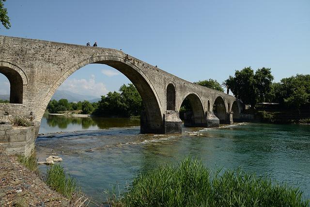
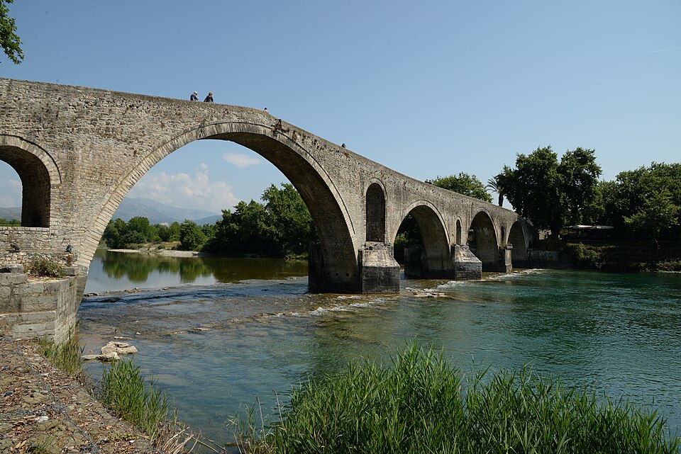
- The Bridge of ArtaOSM ↗
- The Faik Pasha Mosque (Imaret)OSM ↗
- The Plaka BridgeOSM ↗
- The Small Theatre and necropoleis of AmbraciaOSM ↗
- TheodorianaOSM ↗
- Vigla and the Rodia lagoonOSM ↗
- VourgareliOSM ↗
- Zalongo and the Souliot womenOSM ↗
Schematic map: no roads or coastline. Positions come from Wikidata.
The map shows the guide's places at the coordinates held by Wikidata. It has no roads or coastline, because we do not want to load outside maps without a reason. Each dot leads to its page and each entry in the list has a link to OpenStreetMap, where roads are shown.
How to use it
Press the filters to hide or show monuments, nature and villages. “+” zooms in, and “Arta city” jumps to the centre, where the bridge, the Parigoritissa and the small theatre are packed together.
How accurate it is
Positions are as given by Wikidata and may differ from the true spot by some tens of metres. For mountains and rivers the point is indicative and not an entrance. The map does not show routes; for directions use the link to the map.