Vigla and the Rodia lagoon
A village on Mavrovouni inside the Ambracian wetland, with bird observatories, caves and a floating church.
- Location
- About 14.5 km from Arta, altitude 329 m
- Residents
- 368 (2021 census)
- Lagoons
- Rodia, Agios Georgios, Tsoukalio
- See
- Cave of Saint Vlasios, Drakotrypa
Vigla lies at the southwestern edge of the former prefecture, at the foot of Mavrovouni, inside the Ambracian wetland. It is about 14.5 km from Arta and stands at about 329 m.
What to see
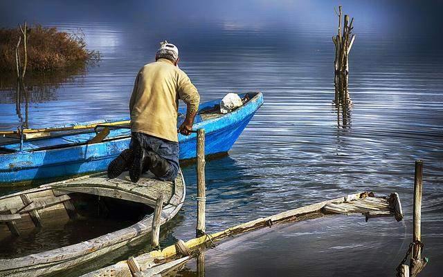
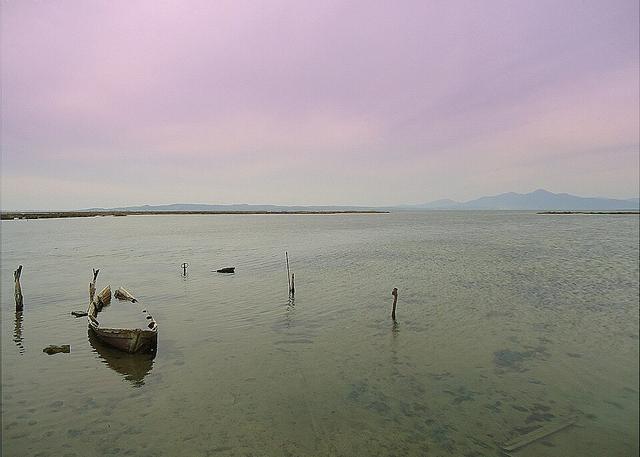
The area has the church of Panagia Rodia with frescoes, the cave of Saint Vlasios on Mavrovouni and the Drakotrypa cave with stalactites and stalagmites. The Rodia, Agios Georgios and Tsoukalio lagoons have bird observatories. Agia Anna is a floating church reached only by boat.
History and farming
In 1884 Metropolitan Serafeim Xenopoulos recorded that the village belonged to the Rodia monastery and had 12 families, with a church of Saint Nicholas renovated in 1873. The marsh was drained in the 1950s with the help of Dutch technicians. Today oranges, mandarins, lemons, olives and cereals are grown, and fishing targets sea bass, gilthead bream, mullet and eel.
Notable people
The footballer Antonis Nikopolidis comes from Vigla.