The Bridge of Arta
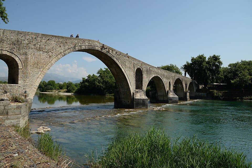
The four-arched stone footbridge over the Arachthos, and the folk song that made it famous.
Look at it from the river bank, not only from above.
Read more See on the mapEpirus · Arta regional unit
Arta sits on a river, the Arachthos, and on top of a city that was a capital long before it became a regional unit: ancient Ambracia. Around it the region climbs into the Tzoumerka mountains and drops down to the lagoons of the Ambracian Gulf.
Forty-five master builders and sixty apprentices
set out to build the bridge over the river of Arta.Traditional folk song, "The Bridge of Arta" (translation)
Start here
Five themed routes, the way Italian cities offer paths instead of lists.
Churches and castle from the era of the Despotate of Epirus.
From the legend of the bridge to the upper Arachthos.
The capital of the king of Epirus beneath the modern city.
Fir forests, rivers and Vourgareli.
Philhellenes at Peta in 1822, Souliotes and EDES in the Tzoumerka.
Oranges, kiwifruit, olives, honey and seafood from the gulf.
Start in the city, where most monuments are within walking distance, then continue toward the sea or the mountains.
The four-arched stone footbridge over the Arachthos, and the folk song that made it famous.
Look at it from the river bank, not only from above.
Read more See on the map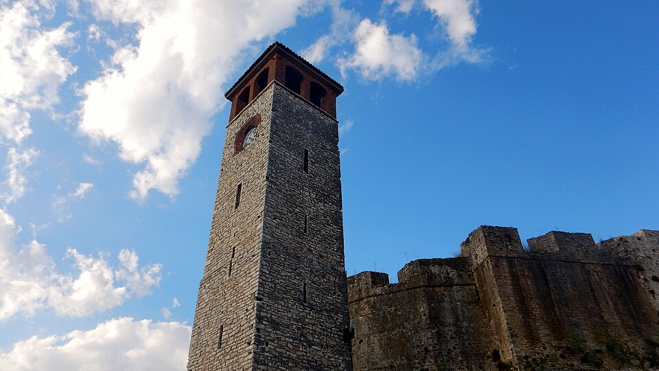 City · Monument
A fortress of the Despotate of Epirus with Ottoman additions, and views of the city and the valley.
Check opening hours and access before you go; some spaces inside the castle change use.
Read more See on the map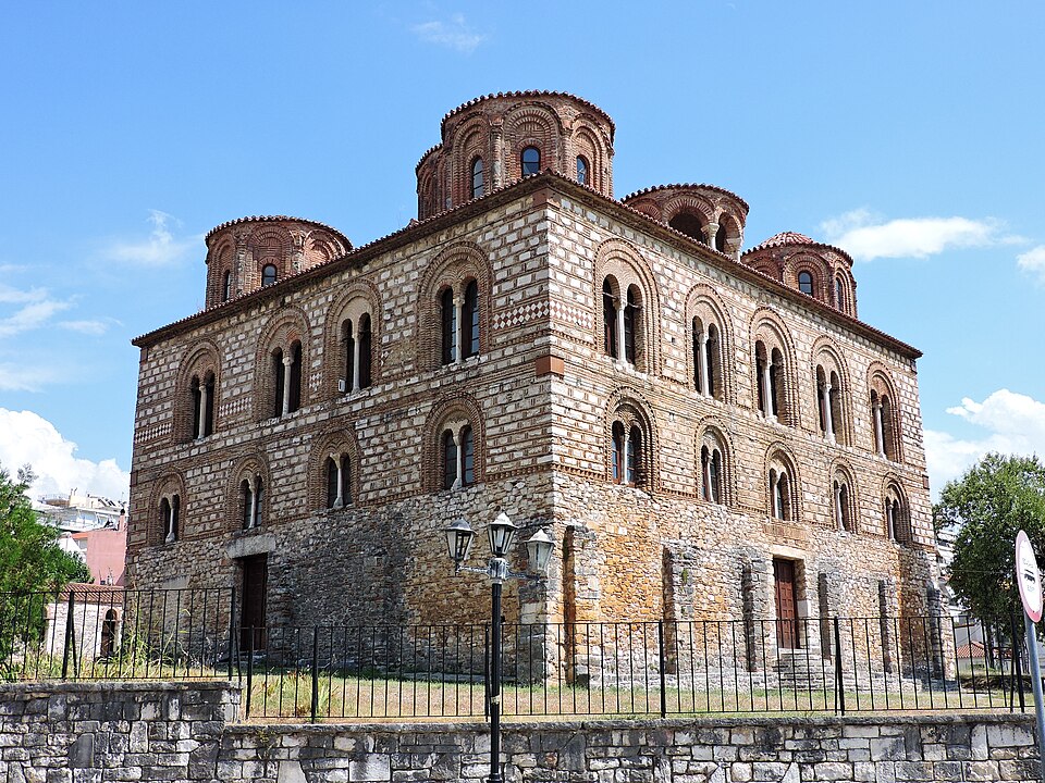 Byzantine monument
The great Byzantine church of the 13th century, with five domes and a mosaic of the Pantokrator.
Look at the outside first: stone-and-brick masonry is typical of Byzantine churches in Epirus.
Read more See on the map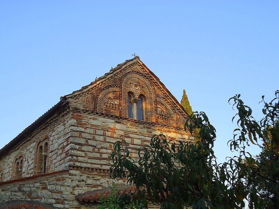 Byzantine monument
The church and convent of Arta's patron saint, Saint Theodora.
Combine it with the Parigoritissa in the same walk.
Read more See on the mapThe ancient city beneath modern Arta, capital of Pyrrhus.
The traces are scattered across the city; look for the signs.
Read more See on the mapKato Panagia is a late Byzantine church. Near it, the old Jewish quarter recalls that Arta held many communities. In March 1944 the Nazis arrested and deported to extermination camps most of the Jewish community, 384 people.
Good for a slow afternoon walk.
See on the map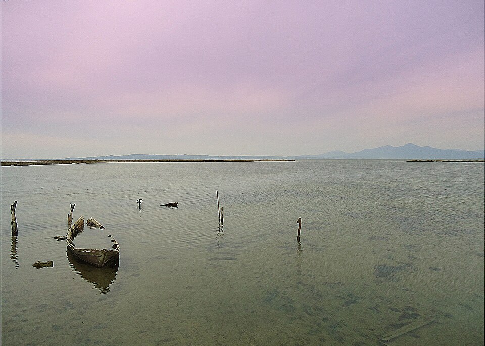 Sea · Wetland
One of the largest enclosed gulfs in Greece, with lagoons full of birds.
For birds, go in the morning and outside summer.
Read more See on the map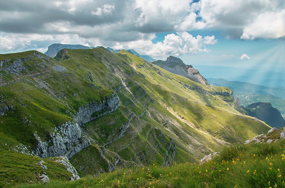 Mountain · River
A mountain of fir forests, rivers and stone villages on the border of Arta and Ioannina.
Mountain roads take time; do not plan too much for the same day.
Read more See on the map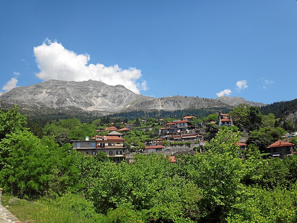 Village · Tzoumerka
The main village of the Tzoumerka, with stone houses, a Byzantine church of 1281 and a rich history.
Keep it for a meal or an overnight stay, not a rushed drive-through.
Read more See on the map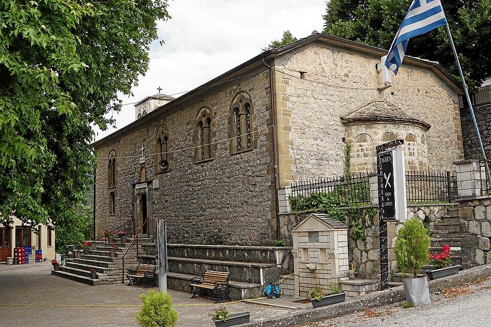 Village · Tzoumerka
One of the largest villages of the Tzoumerka, with fir, maple and pine forests and records going back to 1729.
Suits a stop on the road into the mountains, with time for a walk in the forest.
Read more See on the map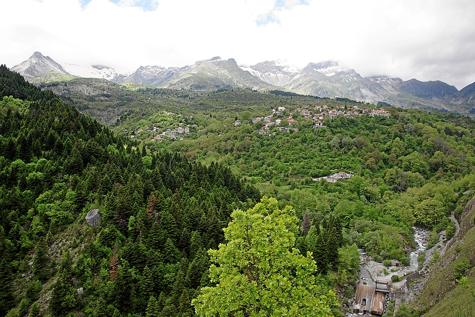 Village · Tzoumerka
A village above the Acheloos with a monastery from 1793 and an unusual amount of rain.
Bring a raincoat: according to Wikipedia it has the highest average annual rainfall in Greece.
Read more See on the map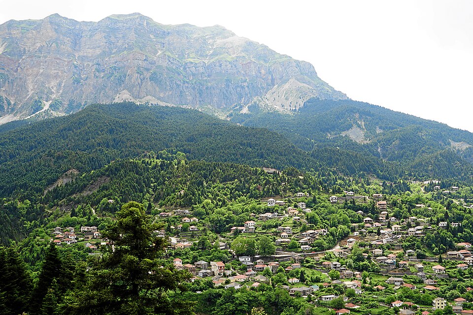 Village · Tzoumerka
The smallest municipal unit of Central Tzoumerka, quiet and sparsely populated.
Suits those who want quiet; services are few, so ask before you go.
Read more See on the map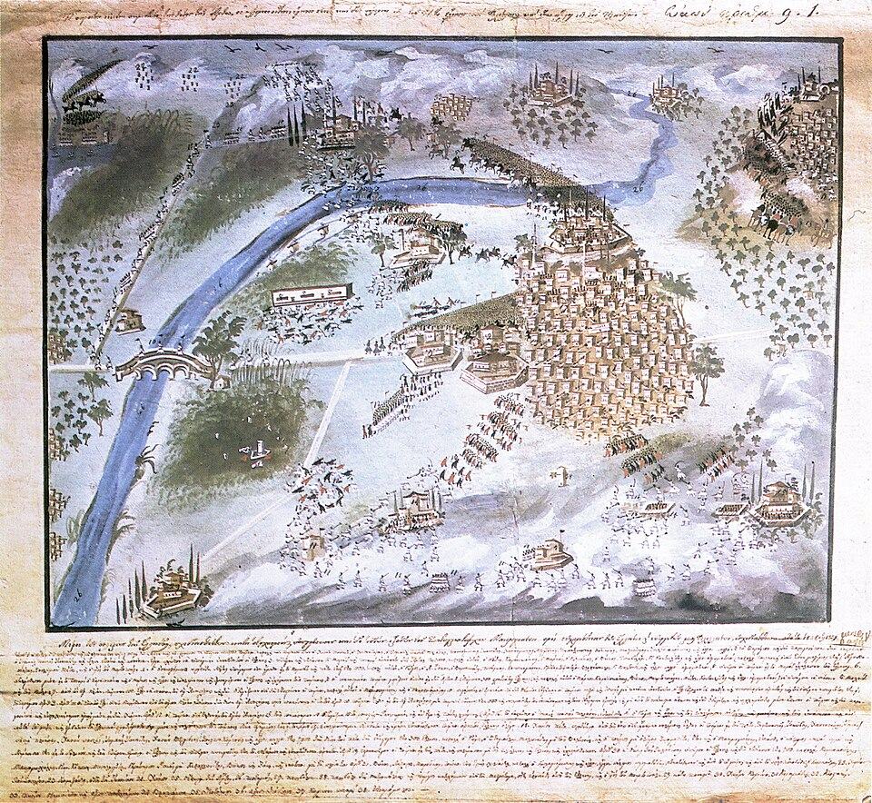 Town · History
The seat of the municipality of Nikolaos Skoufas, known for the Battle of Peta in 1822 and the Philhellenes.
Suits a stop at the battle memorial and the church of Saint George.
Read more See on the mapCitrus, kiwifruit, olives and whatever else the land and the gulf of Arta produce.
The Arta plain is third in Greece for citrus, with oranges and mandarins in winter.
For fresh oranges, come between November and February.
Read more See on the mapKiwifruit has been the region's flagship crop for three decades, exported to many countries.
Ask local growers about visits and where to buy.
Read more See on the mapThe Konservolia Artas olive has had a Protected Geographical Indication since 1994 and is exported across Europe and beyond.
Look for the PGI mark on the packaging.
Read more See on the mapHoney all year round, kefalograviera, seafood from the Ambracian Gulf and tsipouro.
In autumn, look for the Tsipouro and Chestnut Festival.
Read more See on the mapThree suggested sequences so you do not lose time going back and forth.
The builders work all day and the bridge collapses every night. A bird says it will stand only if the master builder sacrifices his wife. He walls her in, and as she dies she curses the bridge, then blesses it.
From a Corinthian colony to today's bridge.
The best time for hiking and for the Arachthos. The lagoons have birds and the mountains turn green.
Hot on the plain, so head for the Tzoumerka for coolness and visit the city early in the morning or late in the afternoon.
Mild weather for monuments and walks, and good colours in the mountain forests.
Arta is one of the wettest cities in Greece (about 1,100 mm a year). In the mountains, watch the weather and the roads.
The city is served by national roads 5 and 30, and buses from Athens take about 5 hours. You need a car for the villages and the Ambracian Gulf.
Check opening hours and access for monuments and the castle, and the weather if you head into the mountains.
Comfortable shoes for stone alleys, a warm layer for the Tzoumerka, and binoculars for the wetland.
It is a four-arched stone footbridge over the Arachthos, 12 metres high. Its present form probably dates from the early 17th century. It is known from the folk song about the master builder and his wife.
One day covers the city: the bridge, the castle and the Byzantine churches. A second day adds either the Ambracian Gulf or the Tzoumerka, and a third lets you see both.
Arta has a hot-summer Mediterranean climate and is one of the wettest cities in Greece, with about 1,100 mm of rain a year. Spring and autumn suit walks and hiking, and summer suits the cooler Tzoumerka.
The city is served by national roads 5 and 30. Buses from Athens take about 5 hours. For the villages and the Ambracian Gulf you need a car.
Pyrrhus was king of Epirus. In 294 BC ancient Ambracia, which stood where Arta is today, was given to him and he made it his capital.
The 13th-century Panagia Parigoritissa, Agia Theodora, with the tomb of the city's patron saint, and Kato Panagia, a late Byzantine church.
Photo credits
All photos are from Wikimedia Commons under the licences shown.