The Arachthos river
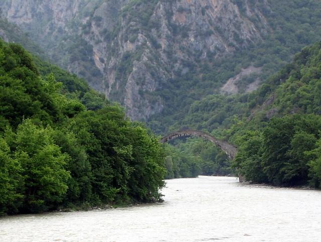
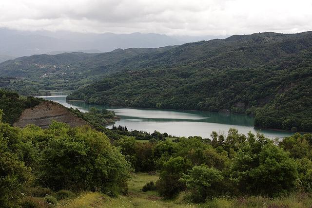
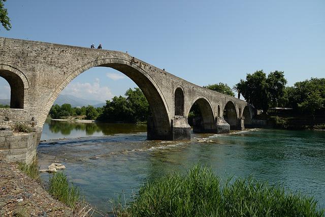
The river from the Pindus that passes the Plaka Bridge, Lake Pournari and Arta.
- Length
- 110 km
- Drainage area
- 2,209 km²
- Source
- Pindus, near Metsovo
- Mouth
- Ambracian Gulf, near Kommeno
The Arachthos is 110 km long with a drainage area of 2,209 square kilometres. It rises in the Pindus near Metsovo; the upper course is called the Metsovitikos and takes the name Arachthos after its confluence with the Dipotamos near Batza.
The course
It flows south between the Athamanika mountains and Xerovouni and passes the Plaka Bridge, described as the largest one-arch stone bridge in Greece. It then enters Lake Pournari, of about 18 km², which protects Arta from flooding and supplies water to much of Epirus. Peta lies near the dam.
Arta and the gulf
Arta lies about 8 km downstream of the dam and is the largest town on the river, with the stone bridge as its historic landmark. South of the town the Arachthos crosses the plain and flows into the Ambracian Gulf near Kommeno, 16 km to the southeast.