Geography: mountains, rivers and plain
Three rivers, three mountain ranges and a plain in the west: Arta at a glance on the map.
- Rivers
- Acheloos (east), Arachthos (centre), Louros (west)
- Mountains
- Athamanika, Pindus, Valtou
- Plain
- In the west, in the Arachthos valley
- Road
- One mountain road to Thessaly
The Arta regional unit has a western half of low agricultural plains and a mountainous eastern half. Most villages and most of the population are in the west, in the Arachthos valley.
Mountains
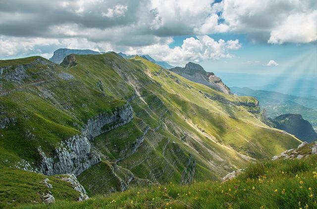
The Athamanika lie in the northeast, the Pindus in the east and the Valtou mountains in the southeast. Only one mountain road links Arta with the Pineios valley and Thessaly.
Rivers
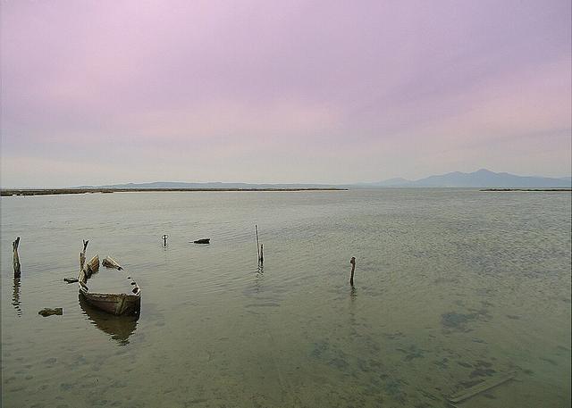
The Acheloos flows through the east, the Arachthos through the centre and the Louros through the west. The Arachthos is 110 km long and flows into the Ambracian Gulf near Kommeno. The Louros, 80 km long, rises near the village of Vouliasta in Ioannina and forms the boundary between Arta and Preveza until it reaches the marshes of the Ambracian Gulf.
The plain
The western plain, from Arta to the Ambracian Gulf, is the home of the oranges and kiwis.