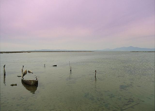
The Louros river
The river that forms the boundary between Arta and Preveza and flows into the marshes of the Ambracian Gulf.
- Length
- 80 km
- Basin
- 963 km²
- Source
- A large spring north of the village of Vouliasta
- Mouth
- Marshes of the Ambracian Gulf
The Louros is 80 km long and has a drainage basin of 963 square kilometres. It rises from a large spring just north of the village of Vouliasta, in Ioannina, and flows south through a canyon.
The course
It passes a dam and a hydroelectric power station and reaches Filippiada, where it forms the boundary between the Arta and Preveza regional units. It veers east into Preveza, flows through the municipality of Louros and empties into the marshes at the northern end of the Ambracian Gulf. At its mouth a delta forms that is protected under the Ramsar Convention.
A rare fish
With the Strymon, the Louros is one of only two known rivers where the critically endangered Greek lamprey (Caspiomyzon hellenicus) has been found.